The objective of the course is to provide basics of digital surveying and mapping of earth surface using total station, GPS and mapping software. The course starts with introduction to land surveying followed by fundamentals of total station and its working & measurements for land surveying. Then, fundamentals, working & measurements using GPS for land surveying will be discussed. Followed by mapping fundamentals, digital surveying procedure, working, data reduction etc. Finally, the course will deals with working and demonstration of a digital land surveying and mapping of an area.
This course will uncover all the major topics in pericyclic reactions and organic photochemistry. In addition to lectures there will be tutorial sessions and assignments in this course.
INTENDED AUDIENCE
Diploma/Degree students in Civil Engineering/Geo-spatial technology, Master/Doctoral students in Geomatics/Geo- spatial technology, Field surveyors, Professional persons dealing with Land surveying, It is an application based Course., It is a core course for Civil Engineering, Geo-spatial Technology, Geography etc and an elective course for all domains in which Land surveying may be applied.
PREREQUISITES
Basics of Physics and mathematics upto 12th standard and familiarity with use of computer
Dr. Jayanta Kumar Ghosh is working as Associate Professor in the Civil Engineering Department (Geomatics Engineering Group) of Indian Institute of Technology Roorkee. He is engaged in teaching, research and consultancy works in Geomatics engineering for more than 31 years. He is pioneer in introducing courses on GPS surveying in the UG & PG curriculum of Engineering education in India, since 1999. He has conducted many short term courses on Surveying for the building professionals as early as 2000. He has published TWO books on Surveying – Elementary Engineering Surveying and Introduction to GPS Surveying. He is member of different National and International technical associations.
Certification Process
1. Join the course
Learners may pay the applicable fees and enrol to a course on offer in the portal and get access to all of its contents including assignments. Validity of enrolment, which includes access to the videos and other learning material and attempting the assignments, will be mentioned on the course. Learner has to complete the assignments and get the minimum required marks to be eligible for the certification exam within this period.
COURSE ENROLMENT FEE: The Fee for Enrolment is Rs. 2000 + GST
2. Watch Videos+Submit Assignments
After enrolling, learners can watch lectures and learn and follow it up with attempting/answering the assignments given.
3. Get qualified to register for exams
A learner can earn a certificate in the self paced course only by appearing for the online remote proctored exam and to register for this, the learner should get minimum required marks in the assignments as given below:
CRITERIA TO GET A CERTIFICATE
Assignment score = Score more than 50% in at least 6/8 assignments.
Exam score = 50% of the proctored certification exam score out of 100
Only the e-certificate will be made available. Hard copies will not be dispatched.”
4. Register for exams
The certification exam is conducted online with remote proctoring. Once a learner has become eligible to register for the certification exam, they can choose a slot convenient to them from what is available and pay the exam fee. Schedule of available slot dates/timings for these remote-proctored online examinations will be published and made available to the learners.
EXAM FEE: The remote proctoring exam is optional for a fee of Rs.1500 + GST. An additional fee of Rs.1500 will apply for a non-standard time slot.
5. Results and Certification
After the exam, based on the certification criteria of the course, results will be declared and learners will be notified of the same. A link to download the e-certificate will be shared with learners who pass the certification exam.
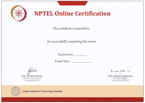
CERTIFICATE TEMPLATE
Course Details
Week 1: Fundamentals of Land Surveying & GPS Week 2: Global Positioning System (GPS) Week 3: Global Positioning System (GPS) Week 4: TOTAL STATION(TS) Week 5: TS & DIGITAL LAND SURVEYING (DLS) Week 6: DLS& DIGITAL MAPPING (DM) Week 7: DM & DIGITAL DATA MANIPULATION (DDM) Week 8: DIGITAL LAND SURVEYING AND MAPPING (DLS&M)
Reviews
There are no reviews yet.
Be the first to review “Digital Land Surveying And Mapping(DLS and M)” Cancel reply


Reviews
There are no reviews yet.